St. Croix Valley Beauty-FOR SALE !
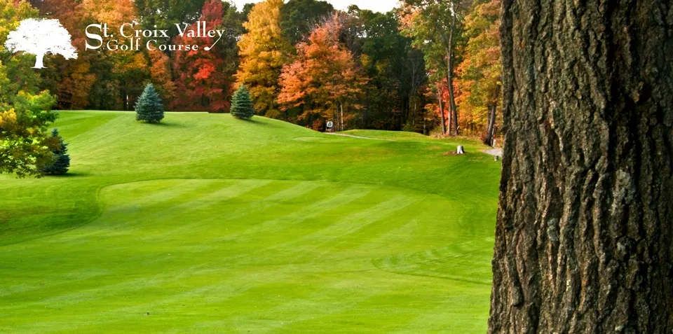
The breath-takingly beautiful St Croix Valley Golf Course is for sale! After nearly 100 years of golf, the owners have decided to sell the property creating a unique opportunity for private use or redevelopment of this prime St Croix Falls, Wisconsin property for only $2.6 million.
Explore now
Contact